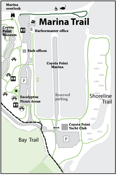


Please note: The trails section of the Coyote Point website is currently being updated to reflect changes made to the park trail system. Some of the maps and information below may be incorrect. See our current map or brochure for better information.
A nice short loop extending into the San Francisco Bay. You’re surrounded by the San Francisco Bay and the Coyote Point Marina. The sounds of shore birds will accompany the panoramic view of the East Bay, South Bay and north towards Oakland and San Francisco.
Park: Coyote Point Recreation Area
Open to: Accessible, Bicycling, Hiking
Surface:Paved
Length:
0.40 miles
Difficulty: Easy
Elevation Change:
1 ft.
